
Feb 18, 2015
By Vesna Brajkovic
[dropcap]T[/dropcap]hrough the years, Upham Hall has undergone upgrades and renovations pushing for an “out with the old, in with the new” mentality.
But it takes a scientific-eye to spot when the ‘old’ is an irreplaceable, rare and book-subject worthy piece meant to be saved.
Three historic relief models, or three-dimensional terrain maps, have been saved throughout the years by Geography & Geology Department Chair and Professor Peter Jacobs.
Jacobs said in his 17½ at UW-Whitewater the maps have always been there and through renovations he has stored the under appreciated pieces to ensure they never got tossed “in the dump,” damaged or pushed to the side.
Geographer Melanie McCalmont researched the relief models at Whitewater in order to include them in her upcoming book on the topic of relief models in the University of Wisconsin system, which also features 25 others located in UW-Madison and UW-Milwaukee.
UW-W has a 1910 relief model of Wisconsin and a 1913 model of Florida, both made by E.H.J. Lorenz, a Wisconsin model-maker, according to McCalmont. The third model is a rare 6X8 foot view of Southern New England that includes Massachusetts, Connecticut and Rhode Island made in 1893 by Edwin E. Howell of Washington, D.C.
The map of Southern New England is the largest one in the UW system, according to McCalmont.
“I’ve never even seen one like this in a science publication,” McCalmont said. “This one is very rare and unique.”
Some smaller handheld relief models are also located on campus.
In 1912, the Wisconsin map and the Southern New England map hung on the walls of the U.S. Military Academy and would have been used by its students such as Dwight D. Eisenhower, George S. Patton and Edward Murphy, McCalmont said.
McCalmont and photographer Tim Hughes were in Upham Hall on Feb. 13 photographing the three relief models for the upcoming book.
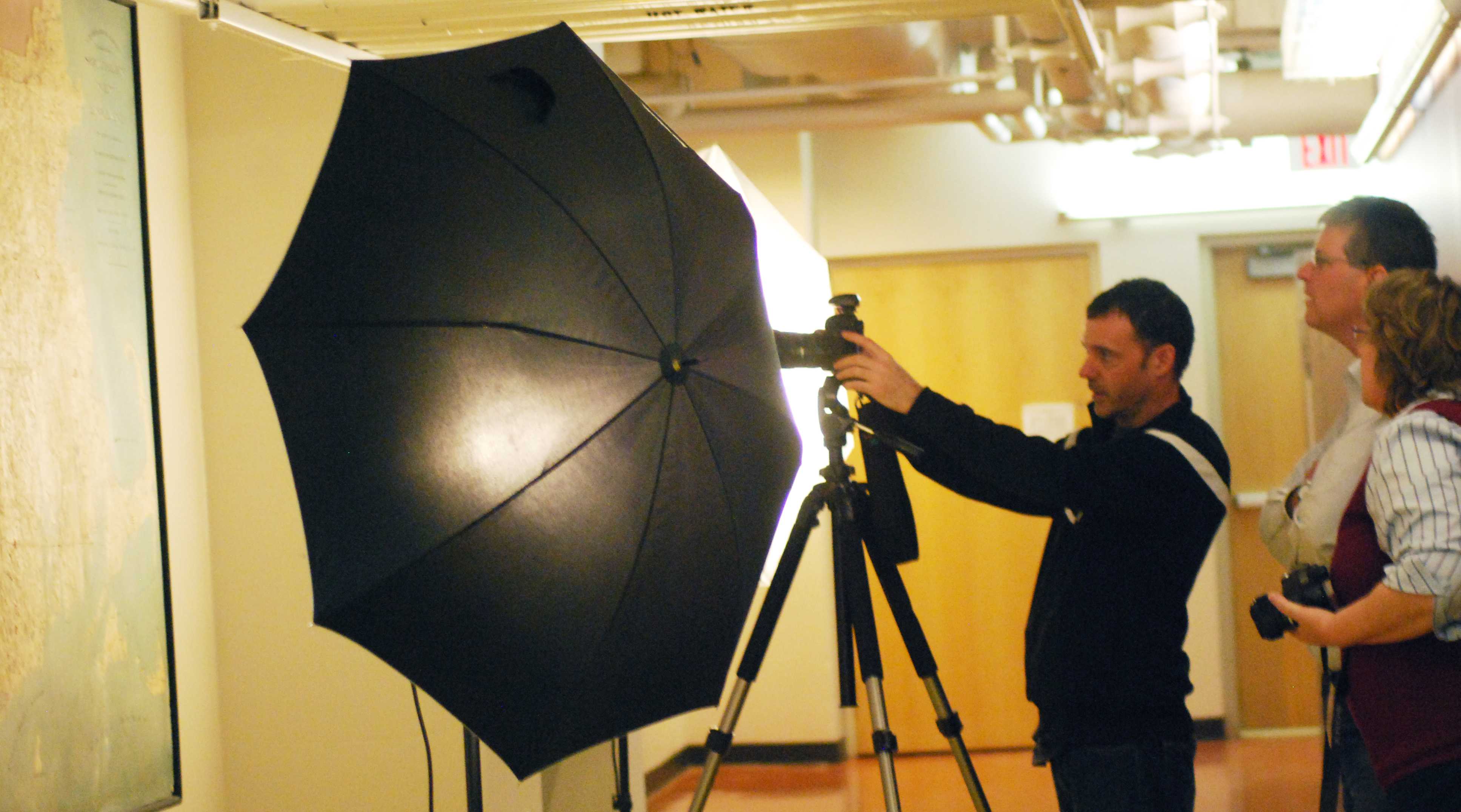
Vesna Brajkovic photo/ [email protected]
Geovisualization, or 3-D digital mapping, have since replaced the need for three-dimensional relief models, but in their time they were regarded as an important and note-worthy technology. Relief models were able to show a view of the earth before space imagery, making them the one of the few detailed visual representations of the world from above.
Relief models are often used by schools for the blind in their science studies because land formations and different elevations can be physically felt, said McCalmont.